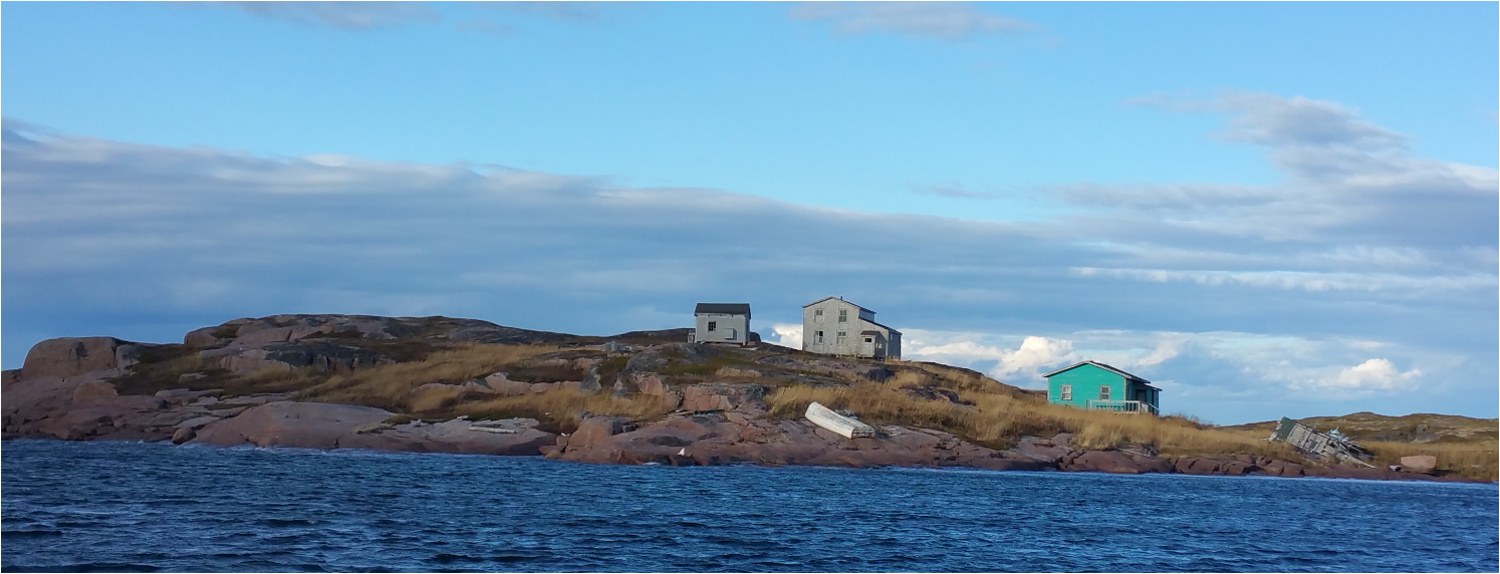
The traditional territory of the Innu of Unamen Shipu is located north of the Gulf of St. Lawrence between the 50° and 53° north latitude and between the 59° and 62° west longitude. The territory is primarily used through its ubiquitous lakes and many rivers. The main means of access is the Kuekuatsheunakapiu (Coucoutchou) River. There is the Uanamen Shipu (Olamane) near the community, the Uashikuteu Shipu (Washicoutai) and the Mashkuanu Shipu (Musquaro), which means “bear tail” because it is a short river.
There is a maritime climate along the coast with cool, wet, windy, misty summers. Winters are snowy and vigorous on the coast but even colder and less windy in the forest.
The territory is part of the Canadian Shield and has a predominance of granite and granite gneiss and deposits of sand and peat bogs in the lowlands. Fir and black spruce are the kings of this forest.
Terrestrial wildlife consists of hares, ruffed grouse, spruce grouse, ptarmigan, caribou, moose, marten, Canada lynx and porcupines. In aquatic ecotones, beaver, muskrat, otter, mink and migratory birds (ducks, geese and loons) are found. Freshwater fish: carp, pike, whitefish, trout, salmon, brook and speckled trout, salmon and landlocked salmon. Salt-water fish: cod, haddock, smelt, herring and shellfish (lobsters, clams and winkles). The seabird species are the common eider or “moyak,” puffins, razorbills, murres, seagulls, recently two species of terns and very recently gannets.
The north shore of the Saint Lawrence extends from Tadoussac in the West, to Blanc-Sablon in the East, and includes all the tributary basins belonging to the estuary and the Gulf of Saint Lawrence between those localities. It is bordered to the West by the Saguenay-Lac-Saint-Jean region, to the South and East by the estuary and the gulf, and by Labrador in the North. It covers almost 200,000 square km, which makes it Québec’s vastest region outside of Nunavik. The territory is made of forests (96%), countless lakes (1,7% of the territory) and rivers (1,3%).


